LiDAR - Light Detection and Ranging is a remote sensing method used to test the Earth's surface.
LiDAR operates similarly to radar and sonar, but uses laser light waves. Generally, a LiDAR device consists of a laser, a scanner, and a specialized GPS receiver. From the LiDAR system, light is quickly emitted from the laser. A sensor in the system calculates the total time it takes for each impulse to repel. Because light moves at a constant speed, the LiDAR device can calculate the distance between itself and the target. GPS is used to identify X, Y, Z locations of light energy. By repeating the same procedure, a map of the surface is measured and a 3D surface model can be constructed.

LiDAR is gaining popularity and is used in various sectors:
Assessment of surrounding areas of autonomous vehicles.
With the invention of autonomous cars, the automotive industry has transformed to a whole new level. Many organizations have started financing self-driving cars. The autonomous vehicle uses LiDAR technology to inspect the surrounding area. Remote lighting technology measures distances, categorizes obstacles in advance, illuminates objects with a laser, and then creates high resolution digital images of the surrounding areas of the car being driven. By installing LiDAR on the bumper or roof of a car, the distance between two vehicles can be calculated to avoid a collision. LiDAR technology also provides information in the adaptive cruise control system in auto-driving to decide when to apply the brakes, decelerate or accelerate the vehicle.
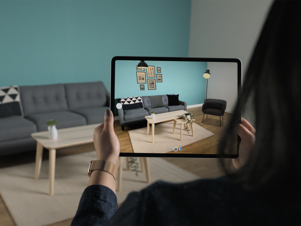
Transforming augmented reality (AR) real world views
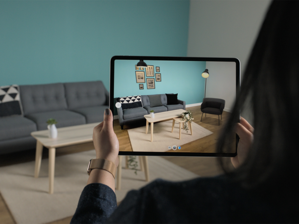
Augmented Reality (AR) may not be the same as virtual reality, but technology is proving to be a very useful tool in our daily lives. AR is growing rapidly in popularity as it incorporates elements of the virtual into the real world that enhance the things we see, hear and feel. AR coupled with LiDAR can increase the transparency and ultimate output of an AR system. In principle, the LiDAR scanner offers ultra-detailed 3D mapping that allows another AR system to collect its data on top of a precise and reliable map. A point cloud created with a LiDAR scanner can offer an extraordinary AR experience. Currently, research is being done on the application of Doppler wind LiDAR, which would allow us to see the clear movement of the wind. The research would be useful in aviation security, weather data display, weather forecasting, and disaster management.
LiDAR technology is most commonly used for landscape exploration. With recent advances in the hardware and software sectors, LiDAR data analysis can be processed more efficiently. Remote sensing technology can go into thick shades, allowing scientists to discover models of land territory that were not visible to them through image-based photogrammetry. A comprehensive and up-to-date risk model can be introduced to manage risk rather than respond to it.
Biodiversity for species and insects
The forest is home to different species and insects. LiDAR technology is used to unravel the mysteries of their lifestyle. Scientists and researchers use LiDAR to collect data on various species and insects. The collected data are then analyzed to determine whether the forest is a suitable place to live or not. Basically, the vertical arrangement of trees, shrubs, and other plants tell you what species can live and prosper in the area.
A tsunami hazard model
We all knew about the tsunami and its impact on human lives. A natural disaster can destroy infrastructure and kill thousands of lives. But LiDAR technology can help reduce this damage. Scientists can use LiDAR technology to understand the area that will be covered when a tsunami occurs. 3D CG “Computer Graphics” terrain representation produced by LiDAR provides a sea-level elevation value and bathymetric data provide an underwater elevation. GIS-compiled data gives us details of the flood area when a tsunami occurs.
Assistant Forensic Investigators
Because of LiDAR’s ability to explore areas and discover life-forms, researchers have been thinking about whether LiDAR technology could be used to detect unmarked graves. For this research, they obtained numerous corpses that were donated to science and buried in various unmarked graves. Using LiDAR technology, researchers were able to make out the outlines of all graves, even those covered with leaves and other debris.
Conclusion
As LiDAR technology becomes cheaper and more affordable, people around the world will continue to enjoy fascinating new applications built on it. LiDAR technology provides the ability to perform impossible tasks from human capabilities such as capturing distant landscapes. Technology has a versatile nature for using its sensors in a variety of situations. Furthermore, LiDAR technology can change a person’s viewpoint for tracking objects or anything. This technology has the potential to transform human insights into various things and in the future, we might see things from a different perception. At Culex, we use LiDAR to build new technologically advanced applications for education, entertainment, and tourists.


Follow us: